 vesseltracker.com
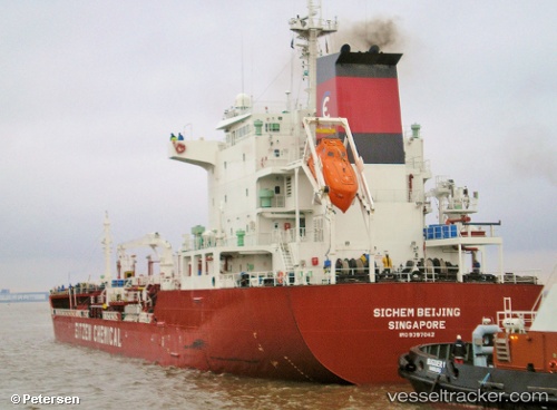
Vessel ROYAL MERCURY IMO: 9397042, MMSI: 352001077 Chemical/Oil Products Tanker
UTC, 22.17022, 114.14608, course: 93, speed: 0.1
UTC, 22.16980, 114.14609, course: 69, speed: 0
2026-02-01 14:28:41 UTC, 22.10748, 114.10714, course: 229, speed: 11.7
Live AIS position:
UTC. Near WAILINGDING ISLAND),
updated 2026-02-01 14:28:41 UTC.
Find the position of the vessel ROYAL MERCURY on the map. The latter are known coordinates and path.
marine traffic ship tracker show on live map
The current position of vessel ROYAL MERCURY is 22.10748 lat / 114.10714 lng. Updated: 2026-02-01 14:28:41 UTCCurrently sailing under the flag of Panama
ROYAL MERCURY built in 2007 year
Deadweight:
13068 tDetails:
Last coordinates of the vessel:
UTC, 22.17025, 114.14605, course: 96, speed: 0.3UTC, 22.17022, 114.14608, course: 93, speed: 0.1
UTC, 22.16980, 114.14609, course: 69, speed: 0
2026-02-01 14:28:41 UTC, 22.10748, 114.10714, course: 229, speed: 11.7