 vesseltracker.com
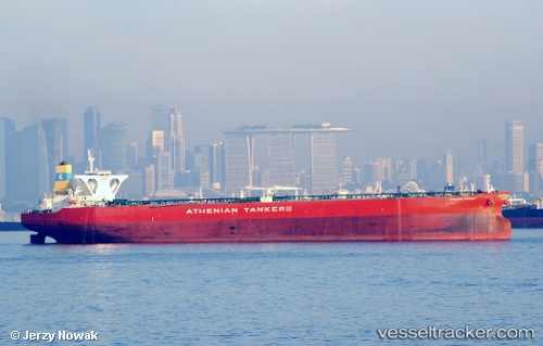
Find the position of the vessel KALLISTA on the map. The latter are known coordinates and path.
marine traffic ship tracker show on live map
The current position of vessel KALLISTA is 2.8034 lat / 100.979 lng. Updated: 2024-04-29 06:32:44 UTCCurrently sailing under the flag of Panama
KALLISTA built in 2010 year
Deadweight:
317441 tGross tonnage:
160135Service entry:
2010-01-01T00:00:00ZManufacturer:
Hyundai Heavy Industries (company)
Details:
Last coordinates of the vessel:
UTC, 3.0154, 100.641, course: 145, speed: 11.1UTC, 2.9201, 100.737, course: 122, speed: 10.6
UTC, 2.9201, 100.737, course: 122, speed: 10.6
2024-04-29 06:32:44 UTC, 2.8034, 100.979, course: 118, speed: 9.7