 vesseltracker.com
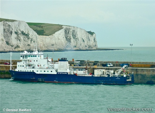
Vessel OCEAN LINK IMO: 7715434, MMSI: 352001144 Cable Layer
UTC, 37.70667, 24.06667, course: -1, speed: 0
UTC, 37.70785, 24.06726, course: 339, speed: 0
2026-03-23 00:04:21 UTC, 37.70785, 24.06726, course: 338, speed: 0
Live Vessel OCEAN LINK Analytics (details, animations, etc.)
Live AIS position: UTC. Near LAVRIO), updated 2026-03-23 00:04:21 UTC.Find the position of the vessel OCEAN LINK on the map. The latter are known coordinates and path.
marine traffic ship tracker show on live map
The current position of vessel OCEAN LINK is 37.70785 lat / 24.06726 lng. Updated: 2026-03-23 00:04:21 UTCCurrently sailing under the flag of Panama
Details:
Last coordinates of the vessel:
UTC, 37.70785, 24.06727, course: 339, speed: 0UTC, 37.70667, 24.06667, course: -1, speed: 0
UTC, 37.70785, 24.06726, course: 339, speed: 0
2026-03-23 00:04:21 UTC, 37.70785, 24.06726, course: 338, speed: 0