 vesseltracker.com
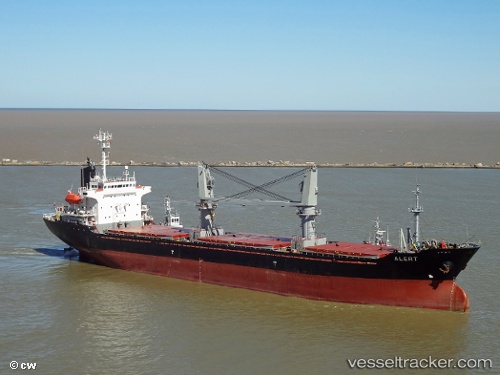
Vessel ERKUL S IMO: 9177789, MMSI: 352001314 General Cargo Ship
UTC, 45.64003, -1.12474, course: -1, speed: 11.6
UTC, 45.64003, -1.12474, course: -1, speed: 11.6
2026-03-08 13:45:01 UTC, 45.64003, -1.12474, course: -1, speed: 11.6
Live Vessel ERKUL S Analytics (details, animations, etc.)
Live AIS position: UTC. Near Saint-Palais-sur-Mer), updated 2026-03-08 13:45:01 UTC.Find the position of the vessel ERKUL S on the map. The latter are known coordinates and path.
marine traffic ship tracker show on live map
The current position of vessel ERKUL S is 45.64003 lat / -1.12474 lng. Updated: 2026-03-08 13:45:01 UTCCurrently sailing under the flag of Panama
ERKUL S built in 1999 year
Deadweight:
13347 tDetails:
Last coordinates of the vessel:
UTC, 45.54544, -1.48050, course: -1, speed: 12.2UTC, 45.64003, -1.12474, course: -1, speed: 11.6
UTC, 45.64003, -1.12474, course: -1, speed: 11.6
2026-03-08 13:45:01 UTC, 45.64003, -1.12474, course: -1, speed: 11.6