 vesseltracker.com
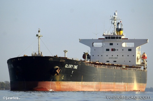
Vessel SENTOSA 66 IMO: 9230141, MMSI: 352001488 Bulk Carrier
UTC, 59.87834, 30.19062, course: 316, speed: 0.1
UTC, 59.88287, 30.18504, course: 311, speed: 3.7
2026-01-27 11:33:30 UTC, 59.88287, 30.18504, course: 311, speed: 3.7
Live AIS position:
UTC. Near Petrolsport),
updated 2026-01-27 11:33:30 UTC.
Find the position of the vessel SENTOSA 66 on the map. The latter are known coordinates and path.
marine traffic ship tracker show on live map
The current position of vessel SENTOSA 66 is 59.88287 lat / 30.18504 lng. Updated: 2026-01-27 11:33:30 UTCCurrently sailing under the flag of Panama
SENTOSA 66 built in 2002 year
Deadweight:
73180 tDetails:
Last coordinates of the vessel:
UTC, 59.87832, 30.19063, course: 316, speed: 0.1UTC, 59.87834, 30.19062, course: 316, speed: 0.1
UTC, 59.88287, 30.18504, course: 311, speed: 3.7
2026-01-27 11:33:30 UTC, 59.88287, 30.18504, course: 311, speed: 3.7