 vesseltracker.com
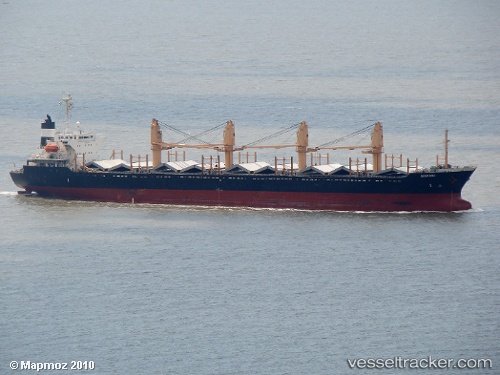
Find the position of the vessel MARAKI on the map. The latter are known coordinates and path.
marine traffic ship tracker show on live map
The current position of vessel MARAKI is 48.8893 lat / -123.12 lng. Updated: 2025-02-19 09:07:34 UTCCurrently sailing under the flag of Panama
MARAKI built in 1994 year
Deadweight:
26472 tPayload_mass:
26472 tonneGross tonnage:
15950Service entry:
1994-01-01T00:00:00ZManufacturer:
Imabari Shipbuilding (Japanese shipbuilder)
Details:
Last coordinates of the vessel:
2025-02-19 09:07:34 UTC, 48.8893, -123.12, course: 133, speed: 13.2