 vesseltracker.com
Find the position of the vessel BOMUSTAFA O on the map. The latter are known coordinates and path.
marine traffic ship tracker show on live map
The current position of vessel BOMUSTAFA O is 2.02513 lat / 45.3475 lng. Updated: 2024-05-02 03:35:00 UTCCurrently sailing under the flag of Panama
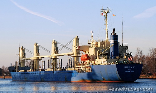
BOMUSTAFA O built in 1995 year
Deadweight:
24173 tPayload_mass:
24173 tonneGross tonnage:
14599Service entry:
1995-01-01T00:00:00ZManufacturer:
Hakodate Dock (shipbuilding company in Japan)
Details:
Last coordinates of the vessel:
UTC, 2.0057, 45.3395, course: 211, speed: 0.2UTC, 2.00499, 45.3381, course: 235, speed: 0.3
UTC, 2.00381, 45.3461, course: 57, speed: 5
2024-05-02 03:35:00 UTC, 2.02513, 45.3475, course: 295, speed: 2.5
The ship also appears on the maps: