 vesseltracker.com
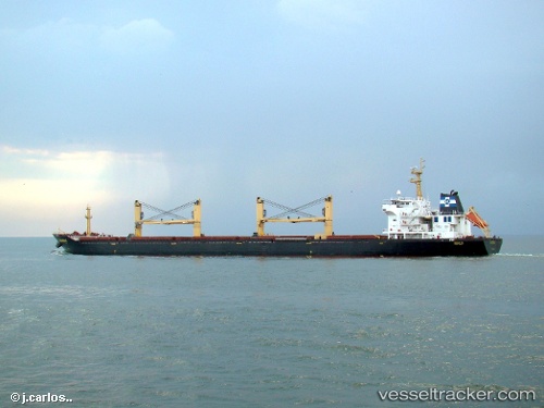
Vessel DE LI IMO: 9216494, MMSI: 352001974 Bulk Carrier
UTC, 35.51688, 129.38329, course: 277, speed: 0
UTC, 35.51688, 129.38329, course: 277, speed: 0
2026-02-22 17:31:48 UTC, 35.51687, 129.38327, course: 277, speed: 0
Live AIS position:
UTC. Near Mipo/Ulsan),
updated 2026-02-22 17:31:48 UTC.
Find the position of the vessel DE LI on the map. The latter are known coordinates and path.
marine traffic ship tracker show on live map
The current position of vessel DE LI is 35.51687 lat / 129.38327 lng. Updated: 2026-02-22 17:31:48 UTCCurrently sailing under the flag of Panama
DE LI built in 2001 year
Deadweight:
49999 tDetails:
Last coordinates of the vessel:
UTC, 35.51688, 129.38329, course: 277, speed: 0UTC, 35.51688, 129.38329, course: 277, speed: 0
UTC, 35.51688, 129.38329, course: 277, speed: 0
2026-02-22 17:31:48 UTC, 35.51687, 129.38327, course: 277, speed: 0