 vesseltracker.com
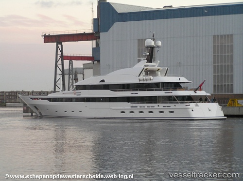
Vessel ASTRID CONROY IMO: 1008487, MMSI: 352001992 Houseboat
Live AIS position:
UTC. Near Damaiyu),
updated 2026-02-12 22:34:09 UTC.
Find the position of the vessel ASTRID CONROY on the map. The latter are known coordinates and path.
marine traffic ship tracker show on live map
The current position of vessel ASTRID CONROY is 25.10558 lat / 119.57678 lng. Updated: 2026-02-12 22:34:09 UTCCurrently sailing under the flag of Panama
ASTRID CONROY built in 2006 year
Deadweight:
771 tDetails:
Last coordinates of the vessel:
2026-02-12 22:34:09 UTC, 25.10558, 119.57678, course: 55, speed: 9