 vesseltracker.com
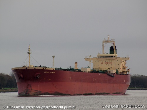
Vessel MYRA IMO: 9336490, MMSI: 352002021 Oil Products Tanker
Live AIS position:
UTC. Near Yangkou Pt),
updated 2026-01-28 15:45:06 UTC.
Find the position of the vessel MYRA on the map. The latter are known coordinates and path.
marine traffic ship tracker show on live map
The current position of vessel MYRA is 32.58539 lat / 121.28669 lng. Updated: 2026-01-28 15:45:06 UTCCurrently sailing under the flag of Panama
MYRA built in 2006 year
Deadweight:
74999 tDetails:
Last coordinates of the vessel:
2026-01-28 15:45:06 UTC, 32.58539, 121.28669, course: 144, speed: 0