 vesseltracker.com
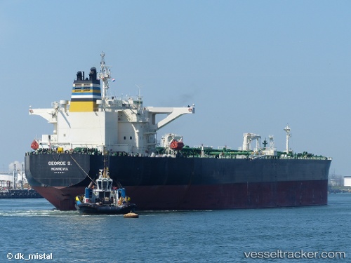
Vessel CANKIRI IMO: 9411331, MMSI: 352002456 Crude Oil Tanker
2026-02-04 10:08:17 UTC, 1.25430, 103.61193, course: -1, speed: 0
Live AIS position:
UTC. Near Tuas),
updated 2026-02-04 10:08:17 UTC.
Find the position of the vessel CANKIRI on the map. The latter are known coordinates and path.
marine traffic ship tracker show on live map
The current position of vessel CANKIRI is 1.25430 lat / 103.61193 lng. Updated: 2026-02-04 10:08:17 UTCCurrently sailing under the flag of Panama
CANKIRI built in 2009 year
Deadweight:
158033 tDetails:
Last coordinates of the vessel:
UTC, 1.25430, 103.61193, course: -1, speed: 02026-02-04 10:08:17 UTC, 1.25430, 103.61193, course: -1, speed: 0