 vesseltracker.com
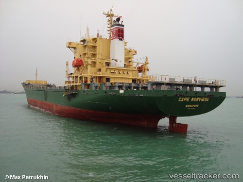
Vessel LUCKY BLESSING IMO: 9182021, MMSI: 352002621 Container Ship
UTC, 21.83453, 38.59958, course: 332, speed: 0.7
UTC, 21.84853, 38.59961, course: 165, speed: 9.9
2026-02-17 16:09:12 UTC, 21.55397, 38.95425, course: 120, speed: 11.3
Live AIS position:
UTC. 12 nm W of Tusdeer Free Zone),
updated 2026-02-17 16:09:12 UTC.
Find the position of the vessel LUCKY BLESSING on the map. The latter are known coordinates and path.
marine traffic ship tracker show on live map
The current position of vessel LUCKY BLESSING is 21.55397 lat / 38.95425 lng. Updated: 2026-02-17 16:09:12 UTCCurrently sailing under the flag of Panama
Details:
Last coordinates of the vessel:
UTC, 21.81590, 38.59297, course: 318, speed: 0.7UTC, 21.83453, 38.59958, course: 332, speed: 0.7
UTC, 21.84853, 38.59961, course: 165, speed: 9.9
2026-02-17 16:09:12 UTC, 21.55397, 38.95425, course: 120, speed: 11.3