 vesseltracker.com
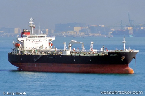
Vessel TOP GRAND IMO: 9308120, MMSI: 352003064 Crude Oil Tanker
UTC, 1.31782, 104.11783, course: -1, speed: 0
UTC, 1.31803, 104.11778, course: -1, speed: 0
2026-01-28 20:26:46 UTC, 1.31667, 104.11666, course: -1, speed: 0
Live AIS position:
UTC. Near Tanjung Setapa),
updated 2026-01-28 20:26:46 UTC.
Find the position of the vessel TOP GRAND on the map. The latter are known coordinates and path.
marine traffic ship tracker show on live map
The current position of vessel TOP GRAND is 1.31667 lat / 104.11666 lng. Updated: 2026-01-28 20:26:46 UTCCurrently sailing under the flag of Panama
TOP GRAND built in 2006 year
Deadweight:
50400 tDetails:
Last coordinates of the vessel:
UTC, 1.31785, 104.11783, course: -1, speed: 0UTC, 1.31782, 104.11783, course: -1, speed: 0
UTC, 1.31803, 104.11778, course: -1, speed: 0
2026-01-28 20:26:46 UTC, 1.31667, 104.11666, course: -1, speed: 0