 vesseltracker.com
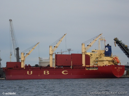
Vessel LINDEN IMO: 9285354, MMSI: 352003702 General Cargo
UTC, 38.98451, 117.74685, course: 15, speed: 0
UTC, 38.98451, 117.74684, course: 15, speed: 0
2026-02-28 17:27:58 UTC, 38.98446, 117.74677, course: 15, speed: 0.2
Live AIS position:
UTC. Near Tianjin Pt),
updated 2026-02-28 17:27:58 UTC.
Find the position of the vessel LINDEN on the map. The latter are known coordinates and path.
marine traffic ship tracker show on live map
The current position of vessel LINDEN is 38.98446 lat / 117.74677 lng. Updated: 2026-02-28 17:27:58 UTCCurrently sailing under the flag of Panama
Details:
Last coordinates of the vessel:
UTC, 38.98444, 117.74678, course: -1, speed: 0UTC, 38.98451, 117.74685, course: 15, speed: 0
UTC, 38.98451, 117.74684, course: 15, speed: 0
2026-02-28 17:27:58 UTC, 38.98446, 117.74677, course: 15, speed: 0.2