 vesseltracker.com
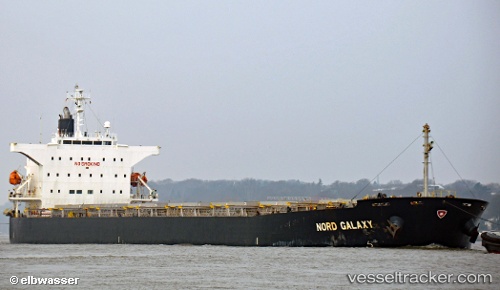
Vessel BROAD BONNIE IMO: 9362231, MMSI: 352003852 Bulk Carrier
UTC, 59.76698, 28.43430, course: 184, speed: 0
UTC, 59.76698, 28.43432, course: 184, speed: 0
2026-03-14 15:44:11 UTC, 59.76698, 28.43432, course: 184, speed: 0
Live Vessel BROAD BONNIE Analytics (details, animations, etc.)
Live AIS position: UTC. Near Ruch’I), updated 2026-03-14 15:44:11 UTC.Find the position of the vessel BROAD BONNIE on the map. The latter are known coordinates and path.
marine traffic ship tracker show on live map
The current position of vessel BROAD BONNIE is 59.76698 lat / 28.43432 lng. Updated: 2026-03-14 15:44:11 UTCCurrently sailing under the flag of Panama
Details:
Last coordinates of the vessel:
UTC, 59.76702, 28.43430, course: 184, speed: 0UTC, 59.76698, 28.43430, course: 184, speed: 0
UTC, 59.76698, 28.43432, course: 184, speed: 0
2026-03-14 15:44:11 UTC, 59.76698, 28.43432, course: 184, speed: 0