 vesseltracker.com
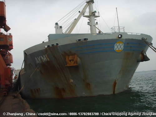
Vessel JUNNING IMO: 9232175, MMSI: 352004610 Bulk Carrier
UTC, 36.63236, 36.16610, course: 302, speed: 0
UTC, 36.63278, 36.16618, course: 245, speed: 0
2026-02-23 12:23:24 UTC, 36.63364, 36.16572, course: 237, speed: 0
Live AIS position:
UTC. Near Iskenderun),
updated 2026-02-23 12:23:24 UTC.
Find the position of the vessel JUNNING on the map. The latter are known coordinates and path.
marine traffic ship tracker show on live map
The current position of vessel JUNNING is 36.63364 lat / 36.16572 lng. Updated: 2026-02-23 12:23:24 UTCCurrently sailing under the flag of Panama
Details:
Last coordinates of the vessel:
UTC, 36.63398, 36.16500, course: 236, speed: 0UTC, 36.63236, 36.16610, course: 302, speed: 0
UTC, 36.63278, 36.16618, course: 245, speed: 0
2026-02-23 12:23:24 UTC, 36.63364, 36.16572, course: 237, speed: 0