 vesseltracker.com
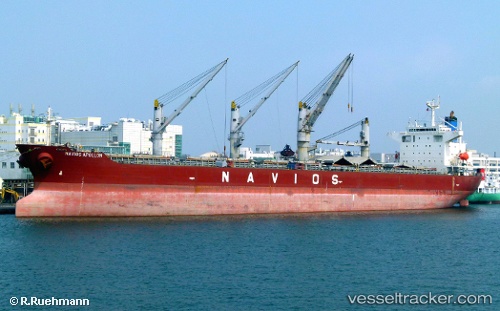
Vessel RUI AN YANG IMO: 9211145, MMSI: 352004630 Bulk Carrier
UTC, 10.65294, -66.98844, course: 65, speed: 2.7
UTC, 10.60307, -66.94146, course: 104, speed: 0
2026-02-26 02:11:13 UTC, 10.60305, -66.94141, course: 104, speed: 0
Live AIS position:
UTC. Near Maiquetía),
updated 2026-02-26 02:11:13 UTC.
Find the position of the vessel RUI AN YANG on the map. The latter are known coordinates and path.
marine traffic ship tracker show on live map
The current position of vessel RUI AN YANG is 10.60305 lat / -66.94141 lng. Updated: 2026-02-26 02:11:13 UTCCurrently sailing under the flag of Panama
Details:
Last coordinates of the vessel:
UTC, 10.64025, -66.95091, course: 352, speed: 1.1UTC, 10.65294, -66.98844, course: 65, speed: 2.7
UTC, 10.60307, -66.94146, course: 104, speed: 0
2026-02-26 02:11:13 UTC, 10.60305, -66.94141, course: 104, speed: 0