 vesseltracker.com
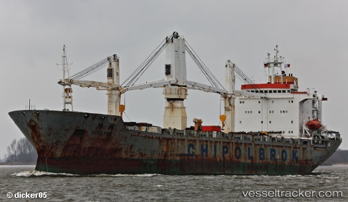
Vessel CRONUS H IMO: 9133410, MMSI: 352006506 General Cargo
UTC, 9.41612, -79.97903, course: 4, speed: 0.1
UTC, 9.41628, -79.97947, course: 19, speed: 0
2026-03-10 09:40:02 UTC, 9.41632, -79.97938, course: 42, speed: 0.3
Live Vessel CRONUS H Analytics (details, animations, etc.)
Live AIS position: UTC. Near Fort Sherman), updated 2026-03-10 09:40:02 UTC.Find the position of the vessel CRONUS H on the map. The latter are known coordinates and path.
marine traffic ship tracker show on live map
The current position of vessel CRONUS H is 9.41632 lat / -79.97938 lng. Updated: 2026-03-10 09:40:02 UTCCurrently sailing under the flag of Panama
Details:
Last coordinates of the vessel:
UTC, 9.41634, -79.97950, course: 28, speed: 0UTC, 9.41612, -79.97903, course: 4, speed: 0.1
UTC, 9.41628, -79.97947, course: 19, speed: 0
2026-03-10 09:40:02 UTC, 9.41632, -79.97938, course: 42, speed: 0.3