 vesseltracker.com
Find the position of the vessel DENIZ M on the map. The latter are known coordinates and path.
marine traffic ship tracker show on live map
The current position of vessel DENIZ M is 59.8697 lat / 26.0115 lng. Updated: 2024-05-03 09:31:44 UTCCurrently sailing under the flag of Panama
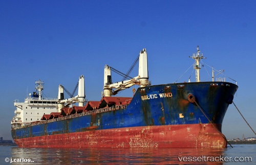
DENIZ M built in 2009 year
Port of registry:
Monrovia (capital city of Liberia)Deadweight:
34409 tPayload_mass:
34409 tonneGross tonnage:
23456Service entry:
2009-01-01T00:00:00ZManufacturer:
SPP Shipbuilding Co., Ltd. (shipyard)Details:
Last coordinates of the vessel:
UTC, 59.8696, 26.0131, course: 193, speed: 0UTC, 59.8698, 26.0124, course: 181, speed: 0.1
UTC, 59.8696, 26.0116, course: 163, speed: 0
2024-05-03 09:31:44 UTC, 59.8697, 26.0115, course: 162, speed: 0