 vesseltracker.com
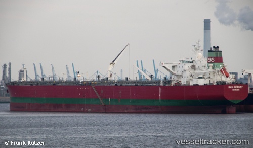
Vessel NORAH IMO: 9240445, MMSI: 352898793 Bulk/Oil Carrier
UTC, 1.23510, 103.68858, course: 41, speed: 0
UTC, 1.23508, 103.68858, course: 41, speed: 0
2026-01-18 01:30:35 UTC, 1.23508, 103.68860, course: 41, speed: 0
Live AIS position:
UTC. Near JURONG ISLAND),
updated 2026-01-18 01:30:35 UTC.
Find the position of the vessel NORAH on the map. The latter are known coordinates and path.
marine traffic ship tracker show on live map
The current position of vessel NORAH is 1.23508 lat / 103.68860 lng. Updated: 2026-01-18 01:30:35 UTCCurrently sailing under the flag of Panama
NORAH built in 2003 year
Deadweight:
120499 tDetails:
Last coordinates of the vessel:
UTC, 1.23506, 103.68860, course: 41, speed: 0UTC, 1.23510, 103.68858, course: 41, speed: 0
UTC, 1.23508, 103.68858, course: 41, speed: 0
2026-01-18 01:30:35 UTC, 1.23508, 103.68860, course: 41, speed: 0