 vesseltracker.com
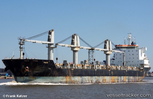
Vessel Aramis IMO: 9438391, MMSI: 353146000 General Cargo Ship
UTC, -32.25867, 29.13026, course: 44, speed: 14.2
UTC, -32.19476, 29.20445, course: 45, speed: 13.9
2026-01-20 04:08:11 UTC, -31.90802, 29.54254, course: 46, speed: 13.8
Live AIS position:
UTC. 17 nm S of Port Saint John's),
updated 2026-01-20 04:08:11 UTC.
Find the position of the vessel Aramis on the map. The latter are known coordinates and path.
marine traffic ship tracker show on live map
The current position of vessel Aramis is -31.90802 lat / 29.54254 lng. Updated: 2026-01-20 04:08:11 UTCDetails:
Last coordinates of the vessel:
UTC, -32.60167, 28.72333, course: -1, speed: 11UTC, -32.25867, 29.13026, course: 44, speed: 14.2
UTC, -32.19476, 29.20445, course: 45, speed: 13.9
2026-01-20 04:08:11 UTC, -31.90802, 29.54254, course: 46, speed: 13.8