 vesseltracker.com
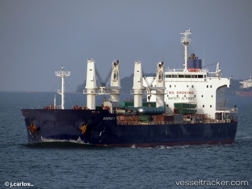
Vessel Iron Lady V IMO: 9445681, MMSI: 353211000 Bulk Carrier
UTC, 38.95263, 117.90138, course: 100, speed: 9.9
UTC, 38.90324, 118.12151, course: 126, speed: 12
2026-01-14 03:57:13 UTC, 38.79990, 118.63103, course: 101, speed: 12.3
Live AIS position:
UTC. 10 nm SE of Caofeidian Pt),
updated 2026-01-14 03:57:13 UTC.
Find the position of the vessel Iron Lady V on the map. The latter are known coordinates and path.
marine traffic ship tracker show on live map
The current position of vessel Iron Lady V is 38.79990 lat / 118.63103 lng. Updated: 2026-01-14 03:57:13 UTCCurrently sailing under the flag of Panama
Iron Lady V built in 2011 year
Deadweight:
57295 tDetails:
Last coordinates of the vessel:
UTC, 38.98012, 117.75777, course: 6, speed: 0UTC, 38.95263, 117.90138, course: 100, speed: 9.9
UTC, 38.90324, 118.12151, course: 126, speed: 12
2026-01-14 03:57:13 UTC, 38.79990, 118.63103, course: 101, speed: 12.3