 vesseltracker.com
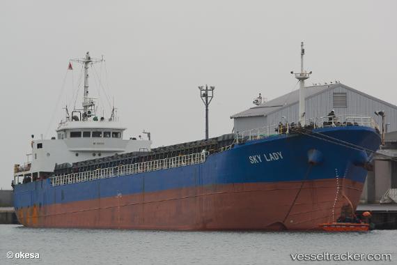
Vessel Sky Lady IMO: 8934051, MMSI: 353326000 General Cargo Ship
UTC, 37.06833, 129.62167, course: -1, speed: 10
UTC, 37.47667, 129.68832, course: -1, speed: 10
2026-02-03 09:42:28 UTC, 37.47667, 129.68832, course: -1, speed: 10
Live AIS position:
UTC. 24 nm NE of HOSAN),
updated 2026-02-03 09:42:28 UTC.
Find the position of the vessel Sky Lady on the map. The latter are known coordinates and path.
marine traffic ship tracker show on live map
The current position of vessel Sky Lady is 37.47667 lat / 129.68832 lng. Updated: 2026-02-03 09:42:28 UTCDetails:
Last coordinates of the vessel:
UTC, 36.69167, 129.58833, course: -1, speed: 10UTC, 37.06833, 129.62167, course: -1, speed: 10
UTC, 37.47667, 129.68832, course: -1, speed: 10
2026-02-03 09:42:28 UTC, 37.47667, 129.68832, course: -1, speed: 10