 vesseltracker.com
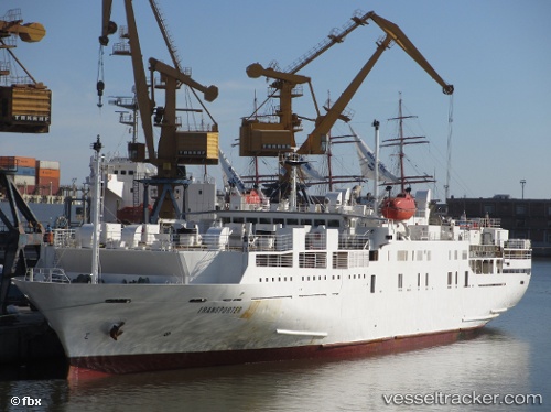
Vessel Transporter IMO: 8701387, MMSI: 353589000 Livestock Carrier
UTC, 35.51167, 16.58333, course: -1, speed: 14
UTC, 35.43667, 16.89333, course: -1, speed: 14
2026-02-06 03:29:02 UTC, 35.26333, 17.61667, course: -1, speed: 13
Live AIS position:
UTC. 55 nm SE of Ryuo),
updated 2026-02-06 03:29:02 UTC.
Find the position of the vessel Transporter on the map. The latter are known coordinates and path.
marine traffic ship tracker show on live map
The current position of vessel Transporter is 35.26333 lat / 17.61667 lng. Updated: 2026-02-06 03:29:02 UTCDetails:
Last coordinates of the vessel:
UTC, 35.51167, 16.58333, course: -1, speed: 14UTC, 35.51167, 16.58333, course: -1, speed: 14
UTC, 35.43667, 16.89333, course: -1, speed: 14
2026-02-06 03:29:02 UTC, 35.26333, 17.61667, course: -1, speed: 13