 vesseltracker.com
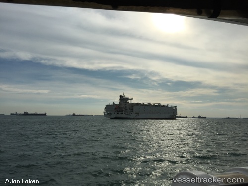
Vessel Anna Marra IMO: 8901860, MMSI: 353816000 Livestock Carrier
UTC, 37.32290, 11.87323, course: 294, speed: 10.7
UTC, 37.49545, 11.34458, course: 295, speed: 11.1
2026-01-29 13:20:23 UTC, 37.56952, 11.15588, course: 295, speed: 12
Live AIS position:
UTC. 43 nm N of Qulaybiyah),
updated 2026-01-29 13:20:23 UTC.
Find the position of the vessel Anna Marra on the map. The latter are known coordinates and path.
marine traffic ship tracker show on live map
The current position of vessel Anna Marra is 37.56952 lat / 11.15588 lng. Updated: 2026-01-29 13:20:23 UTCDetails:
Last coordinates of the vessel:
UTC, 37.09502, 12.26437, course: 316, speed: 7UTC, 37.32290, 11.87323, course: 294, speed: 10.7
UTC, 37.49545, 11.34458, course: 295, speed: 11.1
2026-01-29 13:20:23 UTC, 37.56952, 11.15588, course: 295, speed: 12