 vesseltracker.com
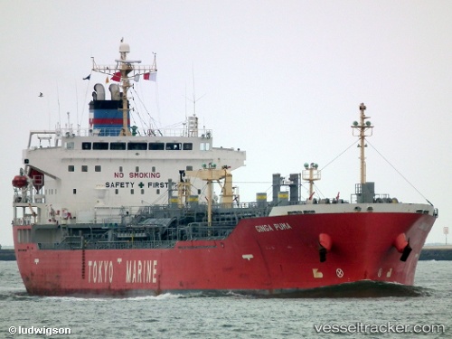
Vessel Ginga Puma IMO: 9343780, MMSI: 353992000 Chemical Oil Products Tanker
UTC, 18.94510, 72.93915, course: 220, speed: 0
UTC, 18.91053, 72.86460, course: 211, speed: 5.6
2026-01-30 14:21:47 UTC, 18.79746, 72.59690, course: 186, speed: 3.8
Live AIS position:
UTC. 14 nm SW of Air Parcel Sorting Office/Mumbai),
updated 2026-01-30 14:21:47 UTC.
Find the position of the vessel Ginga Puma on the map. The latter are known coordinates and path.
marine traffic ship tracker show on live map
The current position of vessel Ginga Puma is 18.79746 lat / 72.59690 lng. Updated: 2026-01-30 14:21:47 UTCDetails:
Last coordinates of the vessel:
UTC, 18.94513, 72.93905, course: 220, speed: 0UTC, 18.94510, 72.93915, course: 220, speed: 0
UTC, 18.91053, 72.86460, course: 211, speed: 5.6
2026-01-30 14:21:47 UTC, 18.79746, 72.59690, course: 186, speed: 3.8