 vesseltracker.com
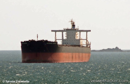
Vessel Centennial Harmony IMO: 9590838, MMSI: 354205000 Bulk Carrier
UTC, -14.21235, 116.46227, course: 348, speed: 10.5
UTC, -13.86430, 116.40829, course: 353, speed: 11.3
2026-01-30 10:26:38 UTC, -13.45777, 116.34847, course: 349, speed: 11
Live AIS position:
UTC. 275 nm S of BENETE),
updated 2026-01-30 10:26:38 UTC.
Find the position of the vessel Centennial Harmony on the map. The latter are known coordinates and path.
marine traffic ship tracker show on live map
The current position of vessel Centennial Harmony is -13.45777 lat / 116.34847 lng. Updated: 2026-01-30 10:26:38 UTCDetails:
Last coordinates of the vessel:
UTC, -14.68336, 116.53412, course: 348, speed: 10.7UTC, -14.21235, 116.46227, course: 348, speed: 10.5
UTC, -13.86430, 116.40829, course: 353, speed: 11.3
2026-01-30 10:26:38 UTC, -13.45777, 116.34847, course: 349, speed: 11