 vesseltracker.com
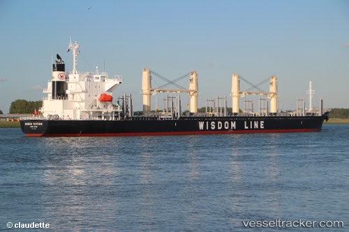
Vessel KOA MARU IMO: 9707833, MMSI: 354804000
UTC, 23.22057, -90.04074, course: 3, speed: 11.9
UTC, 23.61257, -90.02585, course: 6, speed: 12.7
2026-01-20 04:29:20 UTC, 23.70833, -90.01833, course: -1, speed: 12
Live AIS position:
UTC. 30 nm E of Munshiganj),
updated 2026-01-20 04:29:20 UTC.
Find the position of the vessel KOA MARU on the map. The latter are known coordinates and path.
marine traffic ship tracker show on live map
The current position of vessel KOA MARU is 23.70833 lat / -90.01833 lng. Updated: 2026-01-20 04:29:20 UTCDetails:
Last coordinates of the vessel:
UTC, 22.74000, -90.06667, course: -1, speed: 11UTC, 23.22057, -90.04074, course: 3, speed: 11.9
UTC, 23.61257, -90.02585, course: 6, speed: 12.7
2026-01-20 04:29:20 UTC, 23.70833, -90.01833, course: -1, speed: 12