 vesseltracker.com
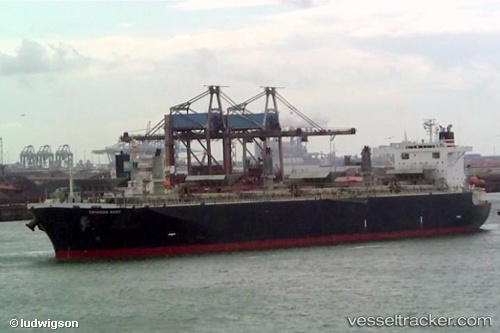
Vessel Alizay 2 IMO: 9244697, MMSI: 354885000 Wood Chips Carrier
UTC, 20.71402, 107.77179, course: 71, speed: 11.7
UTC, 20.80907, 108.29538, course: 65, speed: 10.8
2026-01-28 22:09:50 UTC, 20.91108, 108.63701, course: 69, speed: 10.8
Live AIS position:
UTC. 34 nm NW of Pei-Hai),
updated 2026-01-28 22:09:50 UTC.
Find the position of the vessel Alizay 2 on the map. The latter are known coordinates and path.
marine traffic ship tracker show on live map
The current position of vessel Alizay 2 is 20.91108 lat / 108.63701 lng. Updated: 2026-01-28 22:09:50 UTCDetails:
Last coordinates of the vessel:
UTC, 20.66500, 107.50201, course: 78, speed: 11.9UTC, 20.71402, 107.77179, course: 71, speed: 11.7
UTC, 20.80907, 108.29538, course: 65, speed: 10.8
2026-01-28 22:09:50 UTC, 20.91108, 108.63701, course: 69, speed: 10.8