 vesseltracker.com
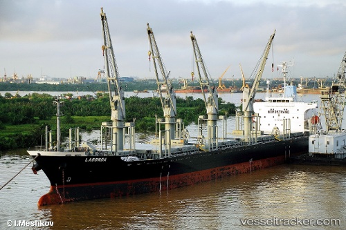
Find the position of the vessel GLORIA M on the map. The latter are known coordinates and path.
marine traffic ship tracker show on live map
The current position of vessel GLORIA M is 31.2064 lat / 29.7086 lng. Updated: 2025-09-11 09:10:54 UTCCurrently sailing under the flag of Panama
GLORIA M built in 2001 year
Deadweight:
28186 tDetails:
Last coordinates of the vessel:
UTC, 31.2063, 29.7083, course: 356, speed: 0.1UTC, 31.2063, 29.7084, course: 348, speed: 0.1
UTC, 31.2063, 29.7084, course: 349, speed: 0
2025-09-11 09:10:54 UTC, 31.2064, 29.7086, course: 343, speed: 0