 vesseltracker.com
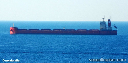
Vessel Pan Bona IMO: 9510527, MMSI: 355120000 Bulk Carrier
UTC, 49.02605, -123.66729, course: 162, speed: 0.2
UTC, 49.02572, -123.66755, course: 161, speed: 0
2026-02-17 15:18:30 UTC, 49.02530, -123.66377, course: 228, speed: 0.1
Live AIS position:
UTC. Near Thetis Island),
updated 2026-02-17 15:18:30 UTC.
Find the position of the vessel Pan Bona on the map. The latter are known coordinates and path.
marine traffic ship tracker show on live map
The current position of vessel Pan Bona is 49.02530 lat / -123.66377 lng. Updated: 2026-02-17 15:18:30 UTCDetails:
Last coordinates of the vessel:
UTC, 49.02561, -123.66843, course: 146, speed: 0.1UTC, 49.02605, -123.66729, course: 162, speed: 0.2
UTC, 49.02572, -123.66755, course: 161, speed: 0
2026-02-17 15:18:30 UTC, 49.02530, -123.66377, course: 228, speed: 0.1