 vesseltracker.com
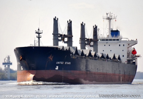
Vessel Vera P IMO: 9100097, MMSI: 355135000 Bulk Carrier
UTC, 40.93622, 28.84408, course: 130, speed: 0
UTC, 40.93620, 28.84402, course: 129, speed: 0
2026-01-23 19:11:24 UTC, 40.93637, 28.84546, course: 151, speed: 0
Live AIS position:
UTC. Near Kumport),
updated 2026-01-23 19:11:24 UTC.
Find the position of the vessel Vera P on the map. The latter are known coordinates and path.
marine traffic ship tracker show on live map
The current position of vessel Vera P is 40.93637 lat / 28.84546 lng. Updated: 2026-01-23 19:11:24 UTCCurrently sailing under the flag of Panama
Vera P built in 1995 year
Deadweight:
43991 tDetails:
Last coordinates of the vessel:
UTC, 40.93617, 28.84389, course: 131, speed: 0UTC, 40.93622, 28.84408, course: 130, speed: 0
UTC, 40.93620, 28.84402, course: 129, speed: 0
2026-01-23 19:11:24 UTC, 40.93637, 28.84546, course: 151, speed: 0