 vesseltracker.com
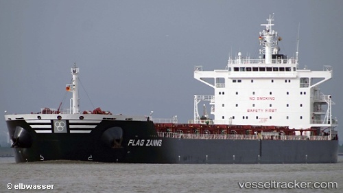
Vessel 'FLAG ZANNIS' IMO: 9474682, MMSI: 355356000
UTC, 14.25325, 80.11590, course: 288, speed: 0
UTC, 14.25323, 80.11589, course: 288, speed: 0
2026-02-17 04:33:24 UTC, 14.25323, 80.11589, course: 288, speed: 0
Live AIS position:
UTC. Near Krishnapatnam),
updated 2026-02-17 04:33:24 UTC.
Find the position of the vessel 'FLAG ZANNIS' on the map. The latter are known coordinates and path.
marine traffic ship tracker show on live map
The current position of vessel 'FLAG ZANNIS' is 14.25323 lat / 80.11589 lng. Updated: 2026-02-17 04:33:24 UTCDetails:
Last coordinates of the vessel:
UTC, 14.25167, 80.11500, course: -1, speed: 0UTC, 14.25325, 80.11590, course: 288, speed: 0
UTC, 14.25323, 80.11589, course: 288, speed: 0
2026-02-17 04:33:24 UTC, 14.25323, 80.11589, course: 288, speed: 0