 vesseltracker.com
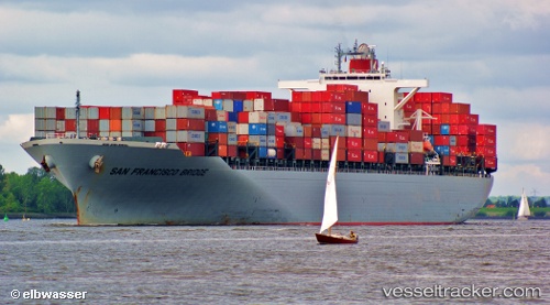
Vessel San Francisco Bridge IMO: 9560364, MMSI: 355400000 Container Ship
UTC, 18.84080, 72.77952, course: 72, speed: 7.9
UTC, 18.95075, 72.94292, course: 219, speed: 0
2026-01-23 10:32:14 UTC, 18.95075, 72.94293, course: 219, speed: 0
Live AIS position:
UTC. Near NHAVA SHEVA),
updated 2026-01-23 10:32:14 UTC.
Find the position of the vessel San Francisco Bridge on the map. The latter are known coordinates and path.
marine traffic ship tracker show on live map
The current position of vessel San Francisco Bridge is 18.95075 lat / 72.94293 lng. Updated: 2026-01-23 10:32:14 UTCCurrently sailing under the flag of Panama
San Francisco Bridge built in 2010 year
Deadweight:
72890 tDetails:
Last coordinates of the vessel:
UTC, 21.90075, 68.85938, course: 161, speed: 13.8UTC, 18.84080, 72.77952, course: 72, speed: 7.9
UTC, 18.95075, 72.94292, course: 219, speed: 0
2026-01-23 10:32:14 UTC, 18.95075, 72.94293, course: 219, speed: 0