 vesseltracker.com
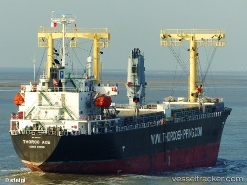
Vessel Toyo Star IMO: 9392614, MMSI: 355424000 General Cargo Ship
UTC, 35.29167, 122.89333, course: -1, speed: 12
UTC, 34.62255, 122.90791, course: 174, speed: 13.1
2026-02-27 21:50:11 UTC, 34.16167, 122.90667, course: -1, speed: 12
Live AIS position:
UTC. 108 nm W of Gageohyangri),
updated 2026-02-27 21:50:11 UTC.
Find the position of the vessel Toyo Star on the map. The latter are known coordinates and path.
marine traffic ship tracker show on live map
The current position of vessel Toyo Star is 34.16167 lat / 122.90667 lng. Updated: 2026-02-27 21:50:11 UTCDetails:
Last coordinates of the vessel:
UTC, 35.43167, 122.88833, course: -1, speed: 12UTC, 35.29167, 122.89333, course: -1, speed: 12
UTC, 34.62255, 122.90791, course: 174, speed: 13.1
2026-02-27 21:50:11 UTC, 34.16167, 122.90667, course: -1, speed: 12