 vesseltracker.com
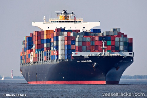
Vessel Seroja Tiga IMO: 9495038, MMSI: 355443000 Container Ship
UTC, 31.37627, 121.57697, course: -1, speed: 0
UTC, 31.37628, 121.57699, course: 115, speed: 0
2026-03-06 22:19:14 UTC, 31.37622, 121.57698, course: 115, speed: 0
Live Vessel Seroja Tiga Analytics (details, animations, etc.)
Live AIS position: UTC. Near Wu-Sung), updated 2026-03-06 22:19:14 UTC.Find the position of the vessel Seroja Tiga on the map. The latter are known coordinates and path.
marine traffic ship tracker show on live map
The current position of vessel Seroja Tiga is 31.37622 lat / 121.57698 lng. Updated: 2026-03-06 22:19:14 UTCDetails:
Last coordinates of the vessel:
UTC, 31.37626, 121.57695, course: 115, speed: 0UTC, 31.37627, 121.57697, course: -1, speed: 0
UTC, 31.37628, 121.57699, course: 115, speed: 0
2026-03-06 22:19:14 UTC, 31.37622, 121.57698, course: 115, speed: 0