 vesseltracker.com
Live AIS position:
2.19167° S, 79.83833° W UTC. Near Durán),
updated 2025-11-20 13:34:04 UTC.
Find the position of the vessel Montelaura on the map. The latter are known coordinates and path.
marine traffic ship tracker show on live map
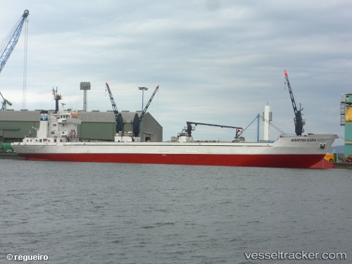
The current position of vessel Montelaura is -2.19167 lat / -79.83833 lng. Updated: 2025-11-20 13:34:04 UTCCurrently sailing under the flag of Panama
Montelaura built in 1977 year
Deadweight:
3459 tDetails:
Last coordinates of the vessel:
UTC, -2.19167, -79.83833, course: -1, speed: 0UTC, -2.19167, -79.83833, course: -1, speed: 0
UTC, -2.19167, -79.83833, course: -1, speed: 0
2025-11-20 13:34:04 UTC, -2.19167, -79.83833, course: -1, speed: 0