 vesseltracker.com
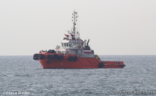
Vessel Lupo IMO: 9734290, MMSI: 355893000 Tug
UTC, 9.37257, -79.89054, course: 290, speed: 6.1
UTC, 9.37128, -79.88835, course: 50, speed: 0
2026-01-14 03:02:30 UTC, 9.37103, -79.88747, course: 235, speed: 0
Live AIS position:
UTC. Near COLON 2000),
updated 2026-01-14 03:02:30 UTC.
Find the position of the vessel Lupo on the map. The latter are known coordinates and path.
marine traffic ship tracker show on live map
The current position of vessel Lupo is 9.37103 lat / -79.88747 lng. Updated: 2026-01-14 03:02:30 UTCDetails:
Last coordinates of the vessel:
UTC, 9.37412, -79.89042, course: 50, speed: 0.3UTC, 9.37257, -79.89054, course: 290, speed: 6.1
UTC, 9.37128, -79.88835, course: 50, speed: 0
2026-01-14 03:02:30 UTC, 9.37103, -79.88747, course: 235, speed: 0