 vesseltracker.com
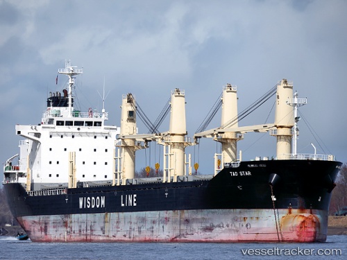
Vessel Tao Star IMO: 9487562, MMSI: 355927000 Bulk Carrier
UTC, -9.50141, 147.15437, course: 30, speed: 0
UTC, -9.50150, 147.15536, course: 347, speed: 0
2026-02-07 23:37:06 UTC, -9.49833, 147.15500, course: -1, speed: 0
Live AIS position:
UTC. Near Port Moresby),
updated 2026-02-07 23:37:06 UTC.
Find the position of the vessel Tao Star on the map. The latter are known coordinates and path.
marine traffic ship tracker show on live map
The current position of vessel Tao Star is -9.49833 lat / 147.15500 lng. Updated: 2026-02-07 23:37:06 UTCCurrently sailing under the flag of Panama
Tao Star built in 2010 year
Deadweight:
25064 tDetails:
Last coordinates of the vessel:
UTC, -9.50142, 147.15437, course: 32, speed: 0UTC, -9.50141, 147.15437, course: 30, speed: 0
UTC, -9.50150, 147.15536, course: 347, speed: 0
2026-02-07 23:37:06 UTC, -9.49833, 147.15500, course: -1, speed: 0