 vesseltracker.com
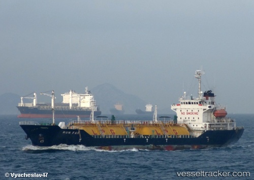
Vessel Runfar IMO: 9140592, MMSI: 356064000 Lpg Tanker
Live Vessel Runfar Analytics (details, animations, etc.)
Live AIS position: UTC. Near KOMYSH BURUNSKA), updated 2026-02-24 06:28:55 UTC.Find the position of the vessel Runfar on the map. The latter are known coordinates and path.
marine traffic ship tracker show on live map
The current position of vessel Runfar is 45.24334 lat / 36.53137 lng. Updated: 2026-02-24 06:28:55 UTCDetails:
Last coordinates of the vessel:
2026-02-24 06:28:55 UTC, 45.24334, 36.53137, course: 219, speed: 6.6