 vesseltracker.com
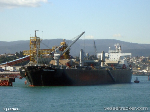
Vessel Princess Bright IMO: 9145035, MMSI: 356462000 Wood Chips Carrier
UTC, 21.49311, 109.55731, course: 205, speed: 0.1
UTC, 21.49314, 109.55731, course: 205, speed: 0.1
2026-01-14 03:57:02 UTC, 21.49316, 109.55731, course: 205, speed: 0
Live AIS position:
UTC. Near Shitoubu Pt),
updated 2026-01-14 03:57:02 UTC.
Find the position of the vessel Princess Bright on the map. The latter are known coordinates and path.
marine traffic ship tracker show on live map
The current position of vessel Princess Bright is 21.49316 lat / 109.55731 lng. Updated: 2026-01-14 03:57:02 UTCDetails:
Last coordinates of the vessel:
UTC, 21.49314, 109.55734, course: 205, speed: 0.1UTC, 21.49311, 109.55731, course: 205, speed: 0.1
UTC, 21.49314, 109.55731, course: 205, speed: 0.1
2026-01-14 03:57:02 UTC, 21.49316, 109.55731, course: 205, speed: 0