 vesseltracker.com
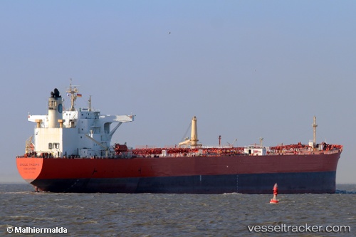
Find the position of the vessel CHOLA QUEEN on the map. The latter are known coordinates and path.
marine traffic ship tracker show on live map
The current position of vessel CHOLA QUEEN is 25.3406 lat / 56.5868 lng. Updated: 2024-04-28 09:53:13 UTCCurrently sailing under the flag of Panama
CHOLA QUEEN built in 2002 year
Deadweight:
104996 tPayload_mass:
107123 tonneGross tonnage:
58166Service entry:
2002-01-01T00:00:00ZManufacturer:
Imabari Shipbuilding Marugame Headquarters (Shipyard in Japan)
Details:
Last coordinates of the vessel:
UTC, 25.3229, 57.0315, course: 307, speed: 13.2UTC, 25.3251, 56.7984, course: 282, speed: 12.5
UTC, 25.3389, 56.5888, course: 259, speed: 0.3
2024-04-28 09:53:13 UTC, 25.3406, 56.5868, course: 178, speed: 0