 vesseltracker.com
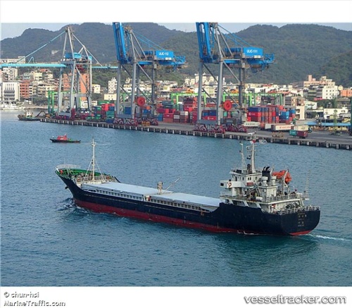
Vessel JIAN RUI 7 IMO: 9416355, MMSI: 357195000 General Cargo Ship
Live Vessel JIAN RUI 7 Analytics (details, animations, etc.)
Live AIS position: UTC. Near Majistan/Zhoushan), updated 2026-02-24 06:08:44 UTC.Find the position of the vessel JIAN RUI 7 on the map. The latter are known coordinates and path.
marine traffic ship tracker show on live map
The current position of vessel JIAN RUI 7 is 29.98844 lat / 122.14319 lng. Updated: 2026-02-24 06:08:44 UTCCurrently sailing under the flag of Panama
JIAN RUI 7 built in 2007 year
Deadweight:
4071 tDetails:
Last coordinates of the vessel:
2026-02-24 06:08:44 UTC, 29.98844, 122.14319, course: -1, speed: 20.8