 vesseltracker.com
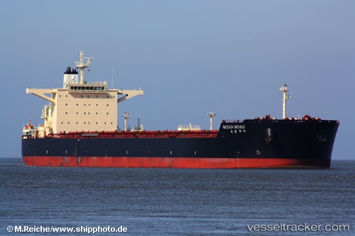
Live AIS position:
35.57445° N, 119.78683° E UTC. Near DONGJIAKOU),
updated 2025-11-20 08:12:12 UTC.
Find the position of the vessel Ocean Road on the map. The latter are known coordinates and path.
marine traffic ship tracker show on live map
The current position of vessel Ocean Road is 35.57445 lat / 119.78683 lng. Updated: 2025-11-20 08:12:12 UTCDetails:
Last coordinates of the vessel:
UTC, 35.57437, 119.78682, course: 236, speed: 0UTC, 35.57457, 119.78692, course: 236, speed: 0
UTC, 35.57490, 119.78700, course: 236, speed: 0
2025-11-20 08:12:12 UTC, 35.57445, 119.78683, course: 236, speed: 0