 vesseltracker.com
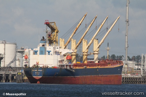
Vessel LADY FLORA IMO: 9163001, MMSI: 357394000 Bulk Carrier
UTC, 31.36701, 121.70913, course: 121, speed: 0
UTC, 31.36702, 121.70912, course: 122, speed: 0
2026-01-15 07:23:37 UTC, 31.14554, 121.88975, course: -1, speed: 12.8
Live AIS position:
UTC. Near Nanhui),
updated 2026-01-15 07:23:37 UTC.
Find the position of the vessel LADY FLORA on the map. The latter are known coordinates and path.
marine traffic ship tracker show on live map
The current position of vessel LADY FLORA is 31.14554 lat / 121.88975 lng. Updated: 2026-01-15 07:23:37 UTCCurrently sailing under the flag of Panama
LADY FLORA built in 1998 year
Deadweight:
47245 tDetails:
Last coordinates of the vessel:
UTC, 31.36702, 121.70913, course: 121, speed: 0UTC, 31.36701, 121.70913, course: 121, speed: 0
UTC, 31.36702, 121.70912, course: 122, speed: 0
2026-01-15 07:23:37 UTC, 31.14554, 121.88975, course: -1, speed: 12.8