 vesseltracker.com
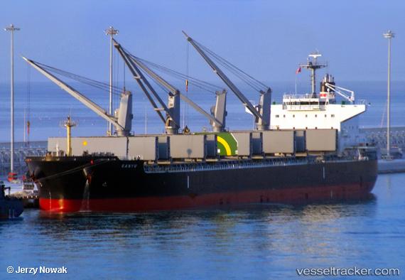
Vessel Sanyu IMO: 9811878, MMSI: 357536000 Bulk Carrier
UTC, 22.09238, 122.34823, course: 60, speed: 10.8
UTC, 22.30016, 122.63366, course: 61, speed: 10.5
2026-03-25 01:25:29 UTC, 22.30016, 122.63366, course: 61, speed: 10.5
Live Vessel Sanyu Analytics (details, animations, etc.)
Live AIS position: UTC. 115 nm SE of Hua-Lien Kang), updated 2026-03-25 01:25:29 UTC.Find the position of the vessel Sanyu on the map. The latter are known coordinates and path.
marine traffic ship tracker show on live map
The current position of vessel Sanyu is 22.30016 lat / 122.63366 lng. Updated: 2026-03-25 01:25:29 UTCCurrently sailing under the flag of Panama
Details:
Last coordinates of the vessel:
UTC, 21.93925, 122.12260, course: 56, speed: 11.1UTC, 22.09238, 122.34823, course: 60, speed: 10.8
UTC, 22.30016, 122.63366, course: 61, speed: 10.5
2026-03-25 01:25:29 UTC, 22.30016, 122.63366, course: 61, speed: 10.5