 vesseltracker.com
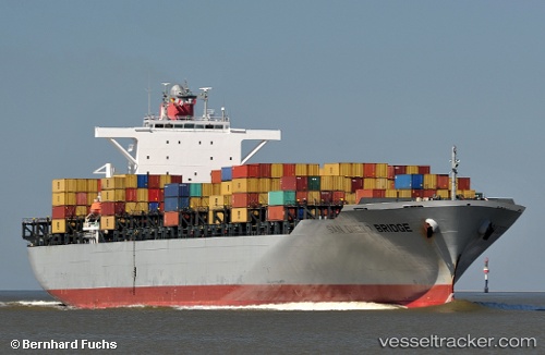
Find the position of the vessel San Diego Bridge on the map. The latter are known coordinates and path.
marine traffic ship tracker show on live map
The current position of vessel San Diego Bridge is 47.2608 lat / -122.386 lng. Updated: 2025-05-09 04:18:46 UTCCurrently sailing under the flag of Panama
San Diego Bridge built in 2010 year
Deadweight:
72912 tGross tonnage:
71787Service entry:
2010-01-01T00:00:00ZManufacturer:
Imabari Shipbuilding Hiroshima Shipyard (Japanese shipyard)
Details:
Last coordinates of the vessel:
UTC, 47.2608, -122.387, course: 312, speed: 0UTC, 47.2608, -122.386, course: 312, speed: 0
UTC, 47.2608, -122.386, course: 312, speed: 0
2025-05-09 04:18:46 UTC, 47.2608, -122.386, course: 313, speed: 0