 vesseltracker.com
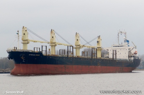
Vessel Harvey Well IMO: 9177492, MMSI: 357876000 Bulk Carrier
UTC, 35.60099, 119.79311, course: 327, speed: 0
UTC, 35.60099, 119.79310, course: 327, speed: 0
2026-01-29 14:15:54 UTC, 35.60098, 119.79309, course: 327, speed: 0
Live AIS position:
UTC. Near DONGJIAKOU),
updated 2026-01-29 14:15:54 UTC.
Find the position of the vessel Harvey Well on the map. The latter are known coordinates and path.
marine traffic ship tracker show on live map
The current position of vessel Harvey Well is 35.60098 lat / 119.79309 lng. Updated: 2026-01-29 14:15:54 UTCDetails:
Last coordinates of the vessel:
UTC, 35.60100, 119.79310, course: 327, speed: 0UTC, 35.60099, 119.79311, course: 327, speed: 0
UTC, 35.60099, 119.79310, course: 327, speed: 0
2026-01-29 14:15:54 UTC, 35.60098, 119.79309, course: 327, speed: 0