 vesseltracker.com
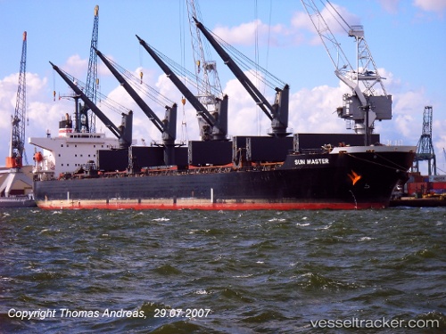
Vessel Alex A IMO: 9254836, MMSI: 357968000 Bulk Carrier
UTC, 26.23912, 54.23419, course: 102, speed: 7.5
UTC, 26.20444, 54.42646, course: 97, speed: 7
2026-02-27 21:21:53 UTC, 26.18311, 54.61477, course: 91, speed: 7.1
Live AIS position:
UTC. 17 nm N of Jazireh-Ye Sirri),
updated 2026-02-27 21:21:53 UTC.
Find the position of the vessel Alex A on the map. The latter are known coordinates and path.
marine traffic ship tracker show on live map
The current position of vessel Alex A is 26.18311 lat / 54.61477 lng. Updated: 2026-02-27 21:21:53 UTCCurrently sailing under the flag of Panama
Alex A built in 2002 year
Deadweight:
50399 tDetails:
Last coordinates of the vessel:
UTC, 26.28803, 53.93083, course: 101, speed: 7.5UTC, 26.23912, 54.23419, course: 102, speed: 7.5
UTC, 26.20444, 54.42646, course: 97, speed: 7
2026-02-27 21:21:53 UTC, 26.18311, 54.61477, course: 91, speed: 7.1