 vesseltracker.com
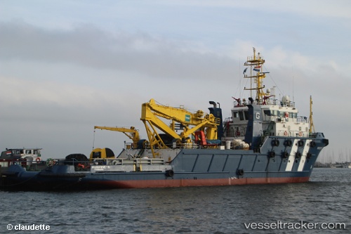
Vessel Marianne g IMO: 9520144, MMSI: 357982000 Offshore Tug Supply Ship
UTC, 37.96117, 23.56886, course: 186, speed: 0
UTC, 37.96120, 23.56885, course: -1, speed: 0
2026-02-28 11:58:20 UTC, 37.96121, 23.56885, course: 188, speed: 0
Live AIS position:
UTC. Near PERAMA),
updated 2026-02-28 11:58:20 UTC.
Find the position of the vessel Marianne g on the map. The latter are known coordinates and path.
marine traffic ship tracker show on live map
The current position of vessel Marianne g is 37.96121 lat / 23.56885 lng. Updated: 2026-02-28 11:58:20 UTCDetails:
Last coordinates of the vessel:
UTC, 37.96118, 23.56886, course: 188, speed: 0UTC, 37.96117, 23.56886, course: 186, speed: 0
UTC, 37.96120, 23.56885, course: -1, speed: 0
2026-02-28 11:58:20 UTC, 37.96121, 23.56885, course: 188, speed: 0